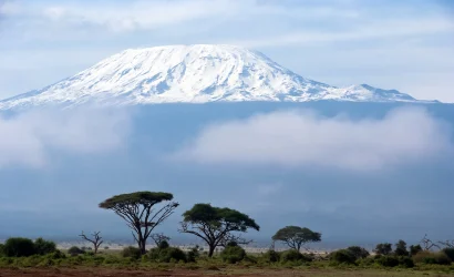
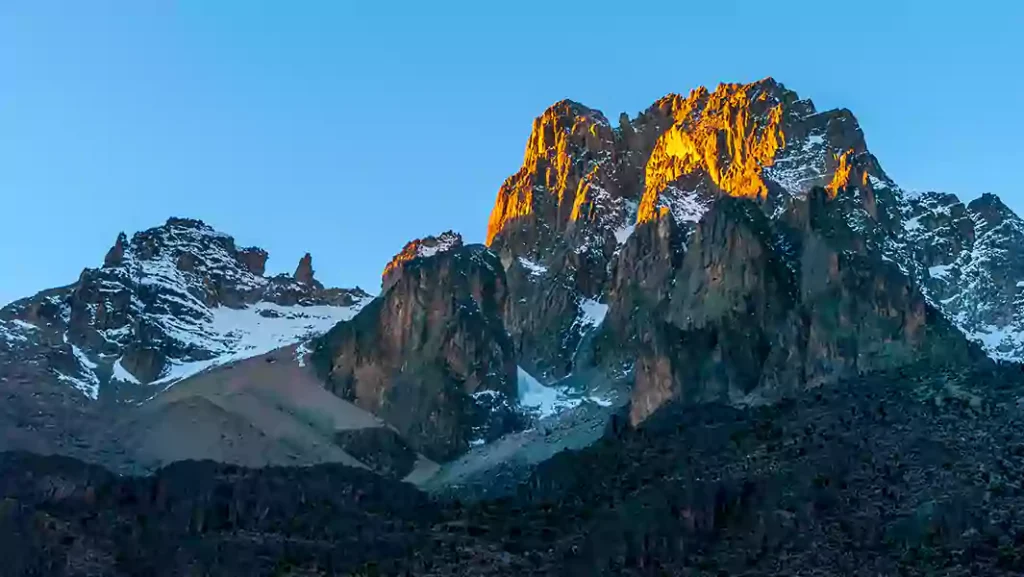
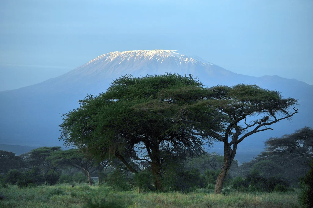
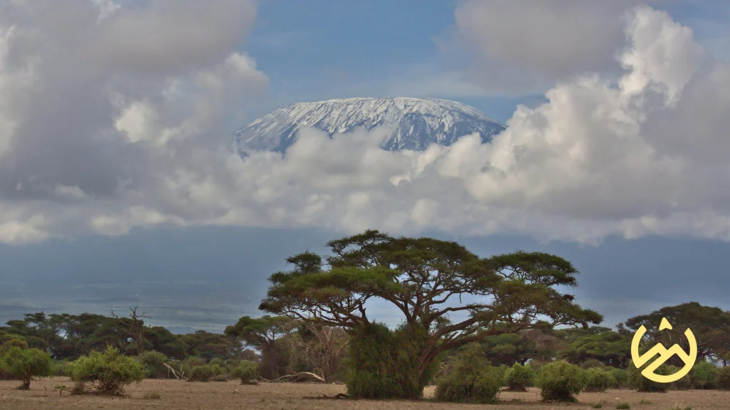
Step into the realm of awe-inspiring landscapes and unparalleled adventure as we delve into the heart of Tanzania for a remarkable journey—Summiting Kilimanjaro. This expedition takes you through the challenging yet captivating Lemosho Route, promising seven days of exhilarating exploration and breathtaking vistas.
Overview
Embarking on the 7 Days Lemosho Route Kilimanjaro expedition is a journey of a lifetime, promising adventure, stunning landscapes, and the ultimate test of endurance. This iconic trek takes you through the pristine wilderness of Mount Kilimanjaro, the tallest free-standing mountain in the world. While you already have the itineraries at your disposal, this overview aims to capture the essence of the experience.
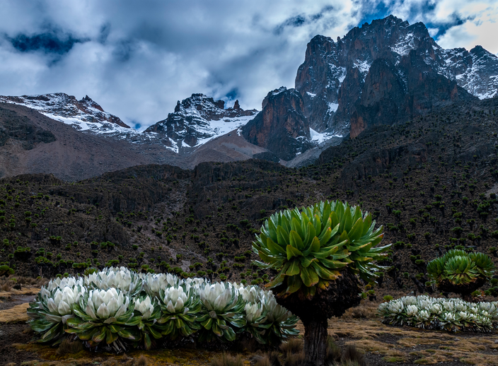
The Lemosho Route is renowned for its scenic beauty and relatively lower traffic, offering a serene and immersive trek up Kilimanjaro. As you ascend, the landscapes transition from lush rainforests to alpine meadows and finally to the lunar-like summit. This route provides ample time for acclimatization, increasing your chances of reaching the Uhuru Peak successfully.
Itinerary
Hiking time: 3 hours
Habitat: Montane forest
After eating breakfast at your hotel, your guide will brief you on the day. You will drive two hours from Arusha (1400m) to Londorossi Park Gate (2100m). In the village near Londorossi Gate, you will receive a packed lunch and can buy mineral water for the hike. Then the final 45 minutes of the drive leading up to the gate will be on a bumpy forest track requiring 4WD vehicles. At the entrance gate, the guides and porters distribute the supplies and register with the Tanzania National Parks Authority (TANAPA). You are now ready to begin your 3-hour hike into the rain forest. Be on the look out for Colobus monkeys! Along the way, you will stop for an afternoon lunch break and arrive at Mti Mkubwa (“Big Tree”) Campsite (2750m) in the early evening. The porters, who arrive at the campsite before the clients, will set up your tent and boil water for drinking and washing. The chef will prepare a snack then dinner for the clients. At nighttime, mountain temperatures may drop to freezing so be prepared!
Hiking time: 6.5 hours
Habitat: Moorland
After an early morning breakfast, you will begin your ascent out of the rainforest and into the heather moorland zone. You will cross many streams and walk over a plateau that leads to Shira 2 Camp (3840m). At this campsite, you will be next to a stream and have a spectacular view of the Western Breach and its glaciers in the East. Similar to the first night, your tents will be set up prior to arriving at camp and the porters will prepare drinking and washing water for you. You will enjoy evening snacks then dinner prepared by our chef. Be prepared for a cold night as temperatures drop below freezing at this exposed camp.
Hiking time: 7 hours
Distance: Approximately 15 kilometers
Habitat: Semi desert
Following an early morning breakfast, you will leave the moorland environment and enter the semi desert and rocky landscape. After 5 hours of walking east, you will be come face to face with the Lava Tower (4630m). Packed lunches are served at the Tower and hikers have the option of climbing the massive Lava Tower weather permitting. At this point of the hike, it is normal for hikers to start feeling the effects from the altitude including headaches and shortness of breath.
After lunch, you will descend from Lava Tower (4630m) to the Barranco Campsite (3950m). The 6800m descent gives hikers a huge advantage to allow their bodies to adjust to the conditions of high altitude. The descent to camp takes around 2 hours to reach. It is located in a valley below the Breach and Great Barranco Wall (“Breakfast Wall”). Drinking and washing water and dinner will be served as hikers view the sun setting.
Hiking time: 4-5 hours
Distance: Approximately 5 kilometers
Habitat: Alpine desert
This is a short hiking day meant for acclimatization. After an early morning breakfast, it is now time to conquer the Great Barranco Wall! Although it may look intimating at first glance, hikers state that this Class 2 hike is usually much easier than they anticipated. At the top of the Wall, you will have a view of Heim Glacier and will be above the clouds. The trail then winds up and down in the Karanga Valley. You will spend the night at Karanga Camp (3950m) and enjoy dinner and washing at the site.
Hiking time: 2-3 hours
Distance: Approximately 4 kilometers
Habitat: Alpine desert
After breakfast, you will begin your ascent. The trail intersects with the Mweka Route, which is the trail used to descend on the final two days. As you continue hiking for an hour, you will reach Barafu Hut. This is the last water stop for the porters because there is no accessible water at Barafu Camp (4550m). The word “barafu” in Swahili means “ice” and this camp is located on a rocky, exposed ridge. Tents will be exposed to wind and rocks so it is important for hikers to familiarize themselves with the campsite before dark. An early dinner will be served so hikers can rest before attempting the summit the same night. Your guide will brief you in detail on how to prepare for summit night. Get to sleep by 19:00!
Hiking time: 8 hours to reach Uhuru Peak, 7-8 hours to descend to Mweka
Distance: Approximately 7 kilometers ascent and 23 kilometers descent
Habitat: Stone scree and ice-capped summit
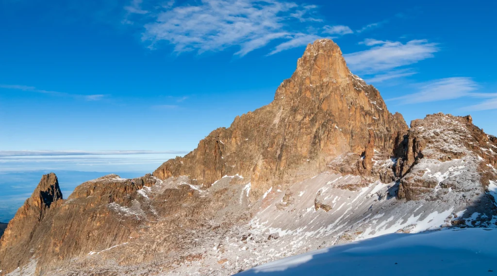
Your guide will wake you around 23:30 for tea and biscuits. You will then begin your summit attempt. The route heads northwest and you will ascend over stone scree. During the ascent, many hikers feel that this is the most mentally and physically challenging part of the climb. In about 6 hours, you will reach Stella Point (5685m), located on the crater rim. After enjoying the magnificent sunrise, you will continue ascending for about 2 hours on a snow-covered trail to Uhuru Peak (5895m). Reaching the summit of Mt. Kilimanjaro is a lifetime accomplishment! You will be able to spend a short time on the summit taking photographs and drinking tea before the descent to Barafu begins. The hike down to Barafu Camp takes about 3 hours.
At camp, you will rest and enjoy a hot lunch in the sun. After eating, you will continue descending down to Mweka Hut (3100m). The Mweka Trail will lead you through the scree and rocks to the moorland and eventually into the rain forest. Mweka Camp (3100m) is located in the upper rain forest, so fog and rain should be expected. You will have a dinner, wash, and rest soundly at camp.
Hiking time: 3 hours
Distance: Approximately 15 kilometers
Habitat: Forest
Following a well-deserved breakfast, your staff will have a big celebration full of dancing and singing. It is here on the mountain that you will present your tips to the guide, assistant guides, chef(s), and porters. After celebrating, you will descend for three hours back to Mweka Gate. The National Park requires all hikers to sign their names to receive certificates of completion. Hikers who reached Stella Point (5685m) receive green certificates and hikers who reached Uhuru Peak (5895m) receive gold certificates. After receiving certificates, hikers will descend into the Mweka village for 1 hour (3 kilometers). You will be served a hot lunch then you will drive back to Arusha for long overdue showers and more celebrations.
The Lemosho Route is considered a moderate to challenging climb. The extended duration of seven days allows for better acclimatization, making it suitable for climbers with varying levels of experience. However, participants should be physically fit and mentally prepared for the altitude challenges.
The Lemosho Route offers a gradual ascent, allowing for better acclimatization. Climbers will experience varying altitudes, starting from around 2,385 meters (7,825 feet) at the trailhead and reaching the summit at 5,895 meters (19,341 feet).
While prior climbing experience is beneficial, it is not mandatory. The route is suitable for adventurers with a good level of fitness and a willingness to undergo physical training before the trip. A positive attitude and mental preparation are equally crucial.
Accommodation during the climb typically consists of tents set up by the support team at designated campsites along the route. These are equipped with sleeping mats. On the final night before the summit push, participants may stay in high-altitude tents.

